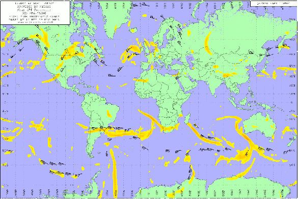
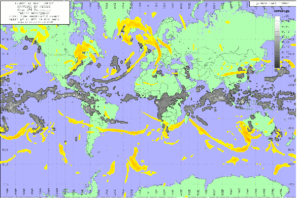
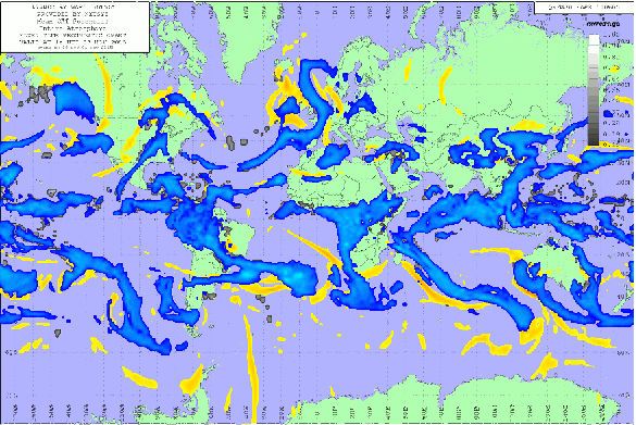
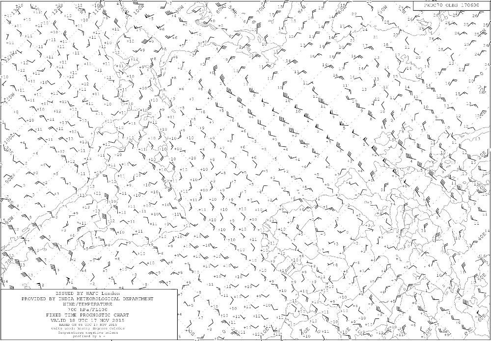
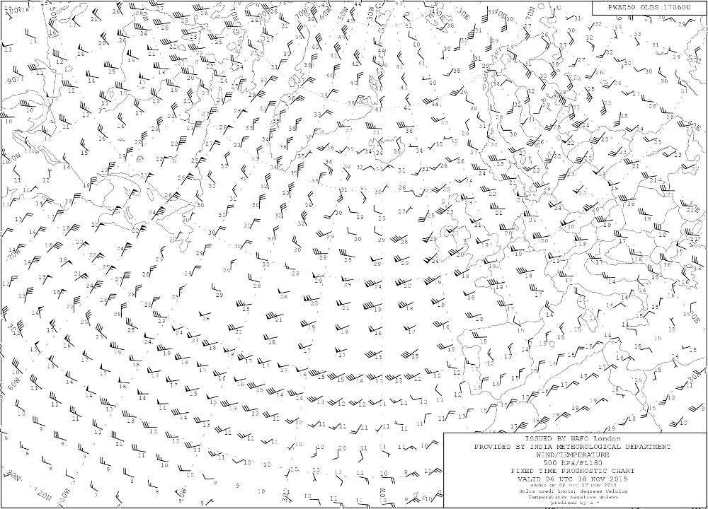
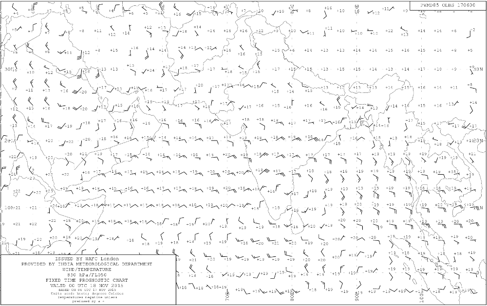
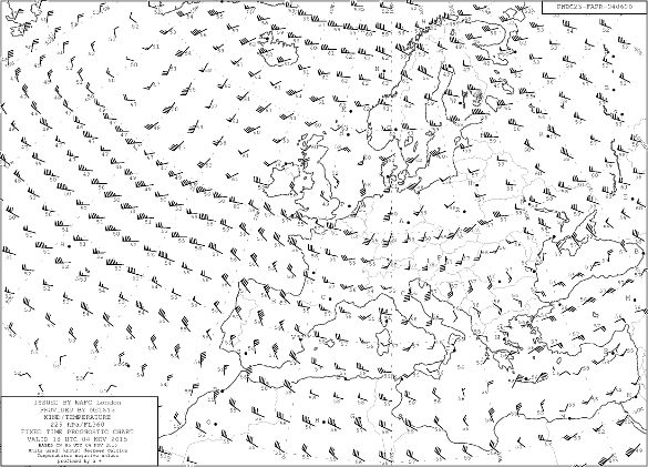
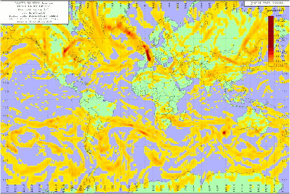
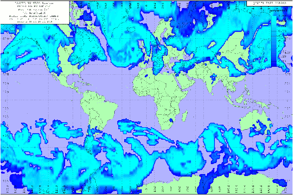
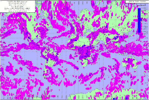
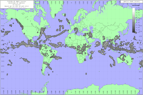
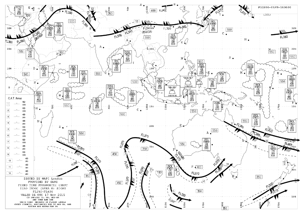
Create charts from NWP output (GRIB), WAFC BUFR, observations and other data. Initially designed to automate the production of ICAO compliant aviation charts nsCHARTS is equally suited to creating charts and animations for use on web sites or for regular distribution.
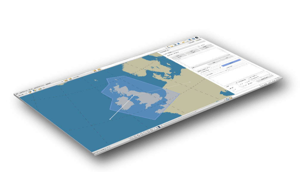
Interactive definition
Create weather charts quickly and easily with our optional chart editor.
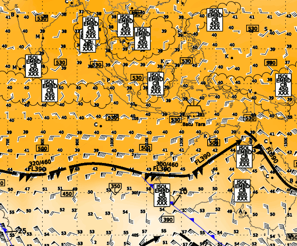
Data overlays
Choose from a wide variety of data types and select attributes from different heights, forecast periods or model outputs. You can also derive attributes from existing ones using the GRIB factory.
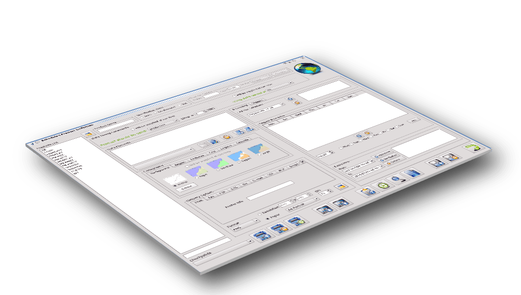
Scheduled and triggered charts
Charts can be scheduled using fixed dates and times or triggered by the arrival of the last source message.
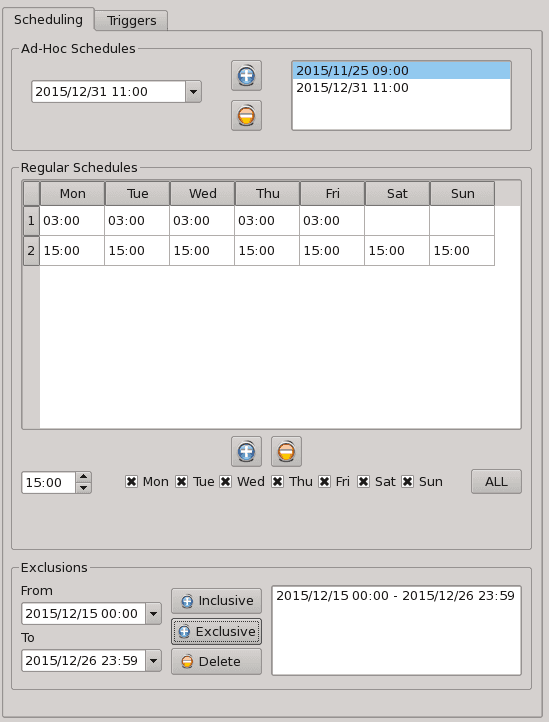
We offer single and dual server solutions with process throttling to control chart production with automatic alternate data source fall-back options.
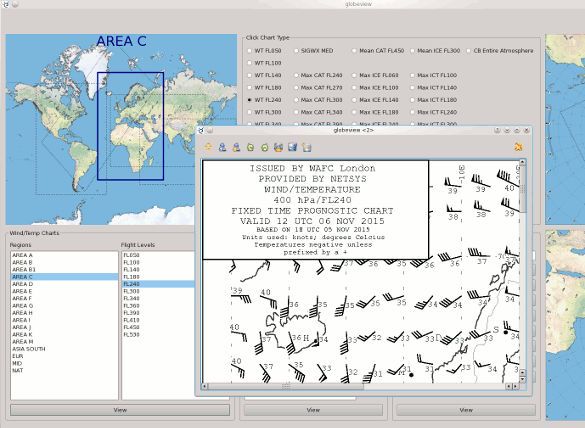
Simple chart selection
Make use of ICAO areas, heights, chart types or validity and data times to select charts.
Import, export and transfer definitions
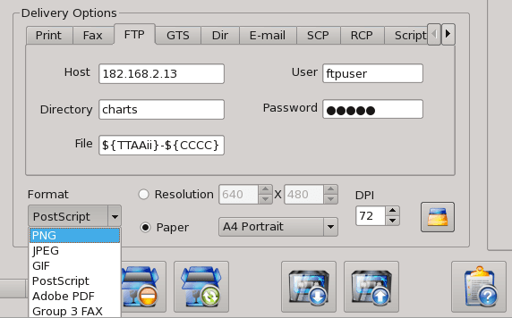
Export images as TIFF, T4, JPG, PNG or high quality Postscript as files or enveloped in an appropriate WMO header.
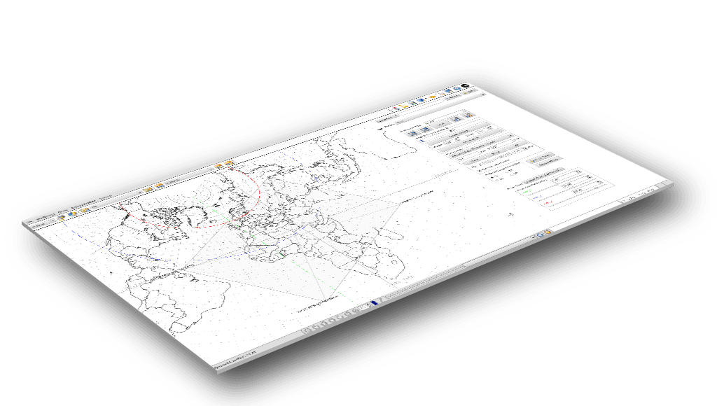
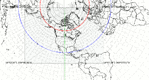
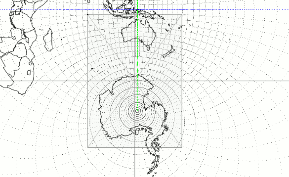
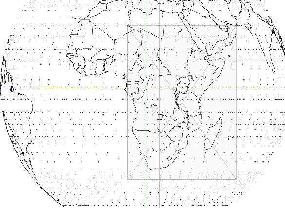
Projection builder
You can now easily create chart selection areas on our world map and customize projection parameters. Choose from Stereographic, Mercator, Lambert Conic Conformal, Orthographic, Transverse Mercator and other projections, each with its own editable parameters.
We support a wide variety of graphic formats: PDF, PNG, JPEG, TIFF, GIF and many more. Customize your chart resolution and orientation before sending it to any of the following destinations: FTP, e-mail, local directory, sftp, scp, GTS TCP/IP socket and others.
Alerts
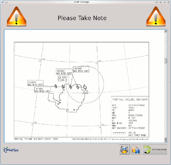
Our system will warn your operators of the arrival of important charts like volcanic advisories and tropical storms.
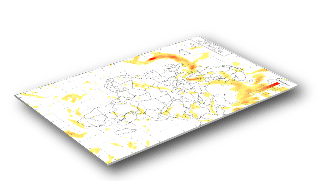
ICAO compliant charts
Save charts as Postscript, WMO T4 (fax), TIFF, T4, JPG or PNG. Schedule charts to be sent via printer, FTP, local directory, WMO socket protocol (gtssoc) or submit to the MHS on a preconfigured stream.
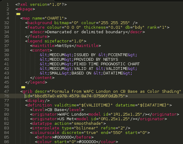
Extremely flexible with XML definition
XML product definition with finely controlled parameters to tune chart content according to customer needs
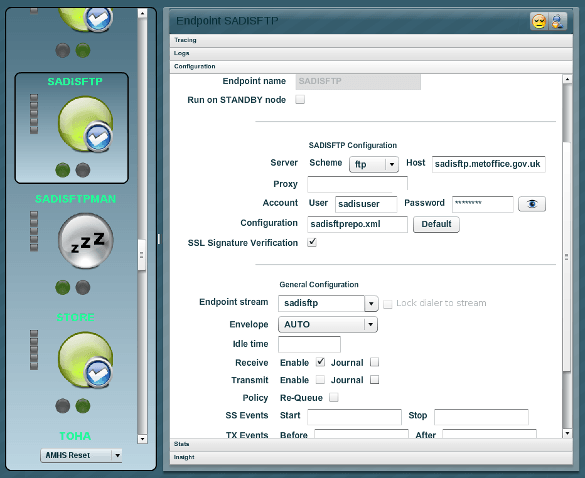
SADIS/WIFS downloader
- Automatic recursive discovery of files from a base directory
- Fine grained control of downloads to suit individual circumstances, e.g. when Internet connectivity is slow
- Caching of downloaded file names and data to prevent repetitive downloads
- Verifying SADIS data integrity and alerting you when the check fails
- Automatic header allocation based on file name
- Catch-up feature to download past data after an off-line period
For the server and workstation platforms, NetSys elects to use Commercially Off The Shelf (COTS) hardware only, with a preference for Dell and HP equipment with hot swappable components for servers. The workstations make use of high-resolution LCD monitors and 3D accelerated graphics cards to make the forecaster’s experience smooth and of high fidelity. There is also the option to connect more than one monitor to each workstation for an extended working surface.


