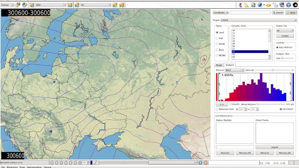
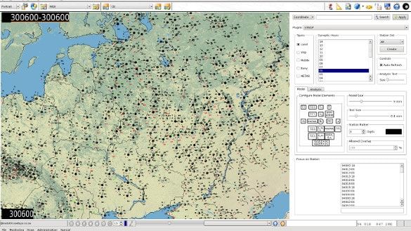
The nsGIB product suite comprise a data visualization and interaction platform as well as product generation back-end. Chart product and information briefing products can be produced and delivered to a wide variety of destinations. License flexibility allows for deployment in various scenarios ranging from basic to extensive to accommodate a diverse weather interest audience.
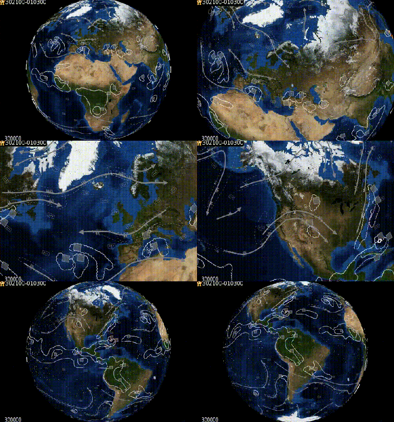
3D Environment
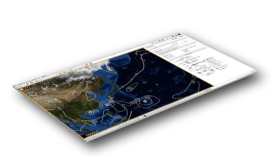
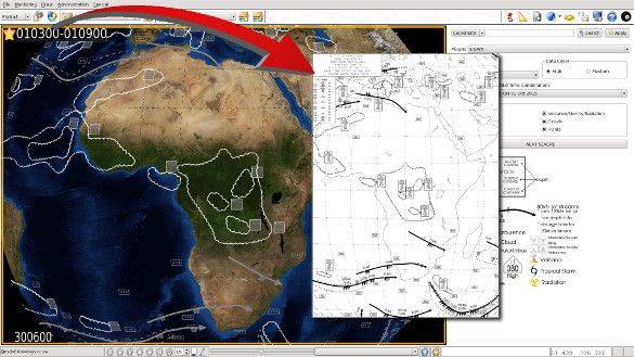
The 3D environment makes obsolete the legacy concept of creating projections to interact with data. The environment provides a fully rotatable and scalable interactive orthographic projection of the world with weather data. overlays. Map projections are created only when products are required for imagery such as web-site output or hard copy printouts.
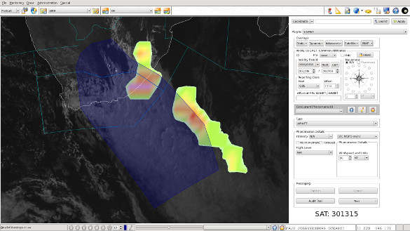
SIGMET Authoring
Produce perfectly coded and managed SIGMETs and AIRMETs by interactive polygonal region definition using the mouse with EUMETSat and GRIB backdrops for accurate phenomena delineation. SIGMETs are clipped automatically against FIRs under MWO area of responsibility.
SYNOP Analysis
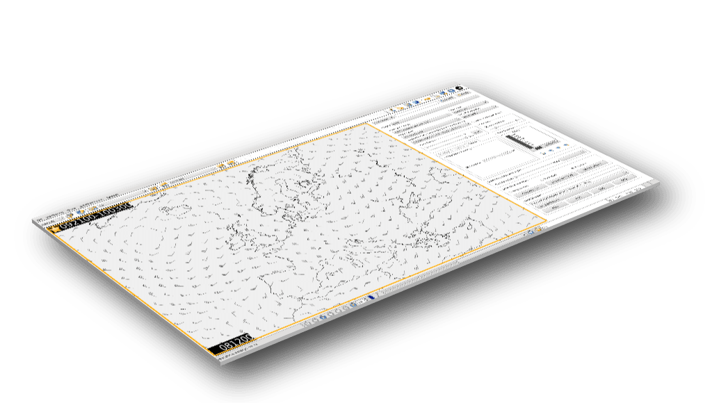
Plot SYNOP station models and get instant analysis of SYNOP data. High and low pressure systems are automatically detected and various noise reduction tools allow for the creation of highly refined analysis plots.
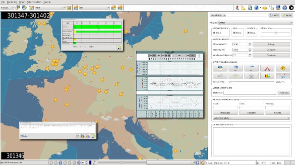
OPMET Visualization
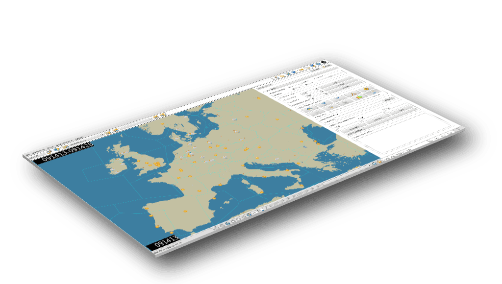
Create station meteograms with a single click along with historic METAR and TAF data in TAC or WXXM. Visualize your OPMET data from numerous vantage points including:
- Situation Summary
- Cumulonimbus
- Thunderstorms
- Runway Icing
- Fog and Mist
- Cloudbase Thresholds
- Visibility Thresholds
- Wind Gusting
- Wind Shear
Pilot Briefings
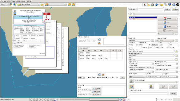
Take control of Pre-Flight Pilot Information Briefings (PIB) content and schedule it to be sent to one of a wide variety of destinations such a printer, e-mail, FTP/SCP server, AMHS address or HTTP upload.
An extensible architecture allows for the platform to be extended with new functionality in isolation or conjunction with existing functionality. NetSys adds new plugins from time-to-time to the COTS offering but the platform can also be used to develop bespoke modules through a modular plugin architecture. Choose from a wide array of existing plugins each with its own set of powerful controls to extract the most out of your data
- SIGWX
- GRIB
- OPMET
- SYNOP
- Upper Air
- EUMETSat
- RADAR
- Air Traffic Control
- SIGMET Authoring
- Pilot Briefing
- Geo-Alerting
- Region Builder
- Annotation Editor
GRIB Laboratory
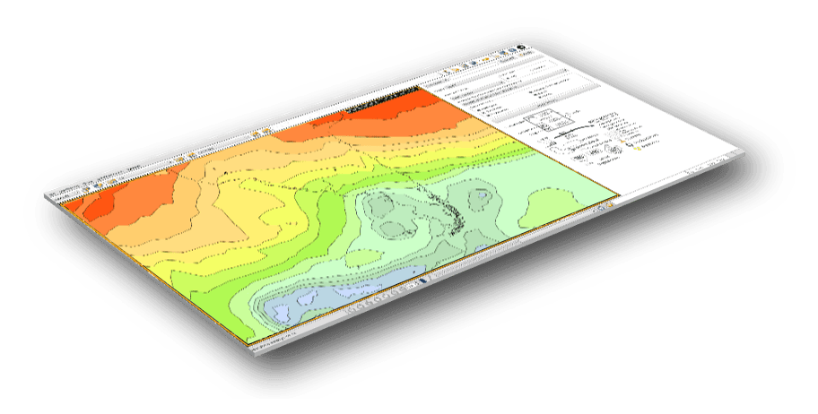
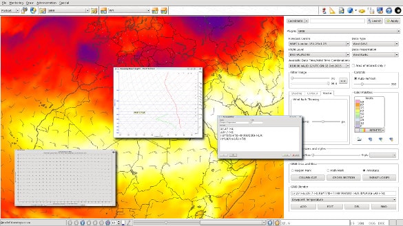
Visualize GRIB data regardless of origin. Create custom palettes and derivative products by using the formula factory. Create overlays of different data types. Obtain real-time SkewT-LogP plots for the coordinate beneath the mouse cursor and generate cross-sections along a path on the map.
Satellite Imagery
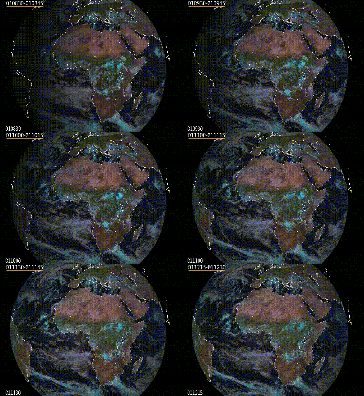
Use our satellite module to monitor EUMETSat along with a formula factory to create customized products from the EUMETSat channels.
Geo-Alerting
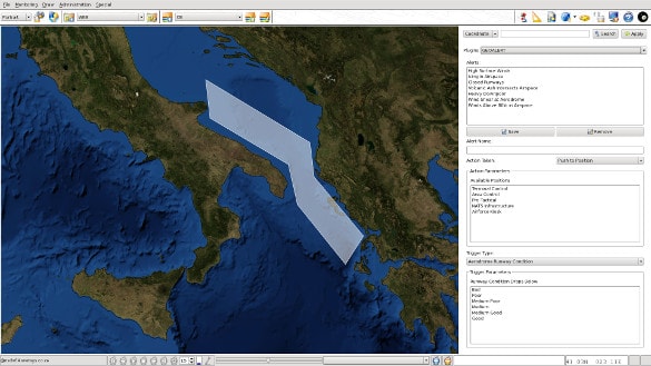
Define regions of interest and weather condition triggers to alert defined parties of hazardous prevalent or forecasted conditions.
Annotations
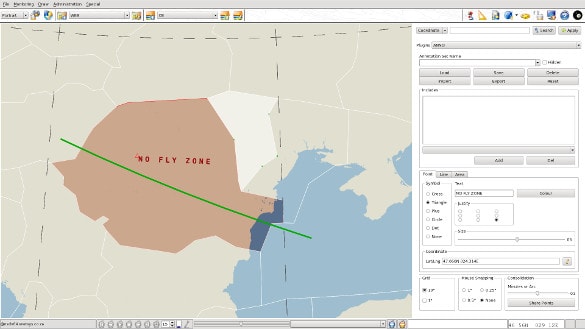
Draw annotation sets to highlight areas such as airways and no fly zones or import directly from existing ESRI data.
Get data from a wide variety of sources such as WMO GTS, SADIS FTP, NOAA WIFS and EUMETSat
Volcanic Ash
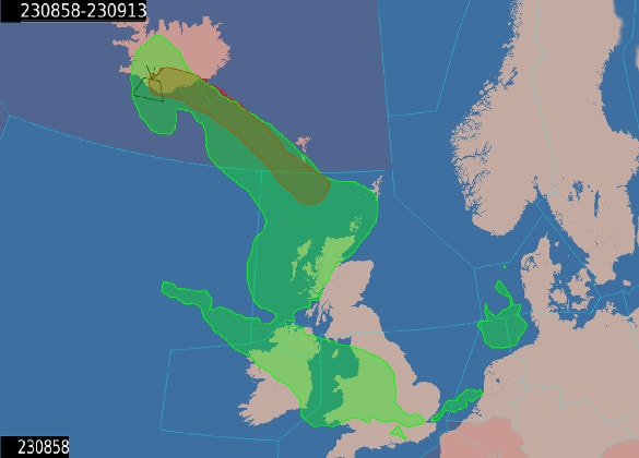
Visualize and inspect high density volcanic ash data and issue NOTAMs from the delineation of high-density areas.
ATC Briefing
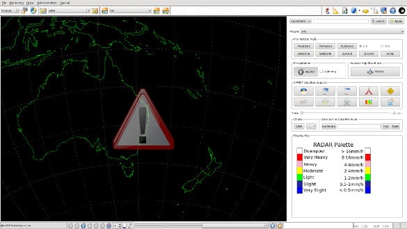
Give ATC supervisors situational awareness from a single display with the minimum amount of interaction. Local RADAR is integrated along with selected WAFC data and localized charts.
Instant Hardcopies
Get instant hardcopies of the current map view without having to define map regions.
Powerful Region Maker
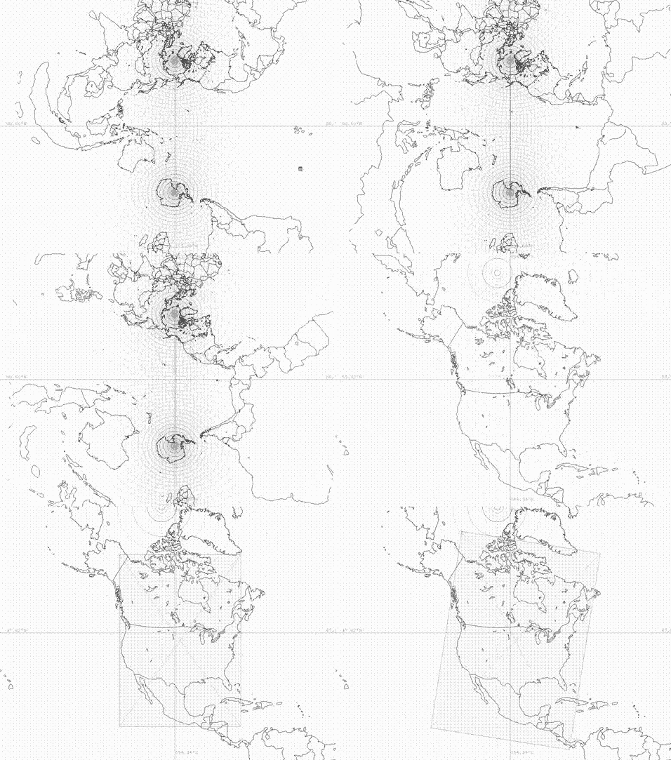
Create map regions using our powerful projection builder. Choose from a number of projections including mercator, plate caree, lambert, orthographic and stereographic.
Our system is built on a foundation of the tried and tested Linux, PostgreSQL and Apache Open Source Software that has stood the test of time. Combined with the NetSys commodity switching software nsMHS the system is able to service an organization’s entire weather data collection and dissemination needs.
Product Generator
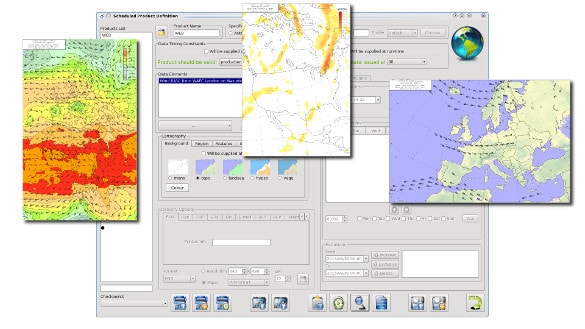
Define products to be regularly scheduled or triggered by the arrival of specific data and output to a number of destinations such as a directory on a web portal, a FTP/SCP destination or via GTSSOC/FTP. Choose from defined map regions, backgrounds, weather layers and map annotations to setup products exactly as envisioned. Weather layers can be a mixture of different data types such as SIGWX, GRIB, Synop, Upper-Air and more.
Configuration
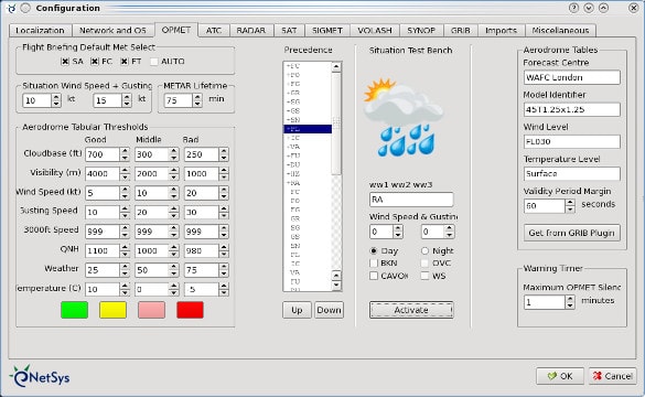
Customize the software to suit local conditions and method of operation.
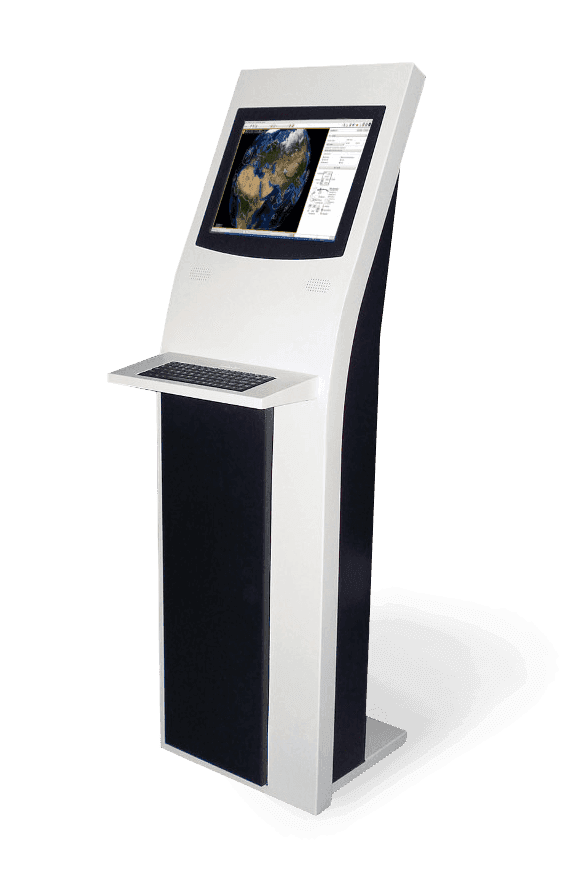
KIOSK
Lock down your installation with KIOSKs to provide any number of self-briefing stations.

Enterprise
Deploy in a multi-user enterprise environment with role-based access control or in a single-user environment with no access restrictions.


